Workshop in QGIS
Published
As part of the symposium The Only Lasting Truth is Change, BEK invites you to a QGIS workshop by Helge Nysæter, Associate Professor, and Simon Sanca, PhD Candidate, both from the Western Norway University of Applied Sciences (HVL).
This workshop is a practical introduction to how to work with spatial information in the geographic information system (GIS) software QGIS.
QGIS is a free and open-source cross-platform desktop geographic information system application.
In the workshop you will learn how to get started, about coordinate systems and map projections; how to find and use map sources and other source data; how to work with raster, vector and terrain models, and how to design and export your own maps.
For critical reflection, we will also discuss how GIS is used as a tool for analysis and representation of data, as well as a tool that impacts decision making.
The two-day workshop takes place at BEK
24 November 10:00-16:00,
25 November 10:00-16:00.
It is free and will be held in English. To register for the workshop series, please send an email to resources@bek.no by 22 November. The places are limited.
The workshop is organised as an extension to “Where is the High North?”, artist Toril Johannessen’s contribution to the symposium The Only Lasting Truth is Change. See the full symposium programme here.
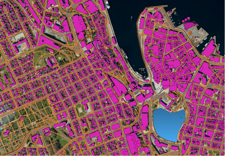
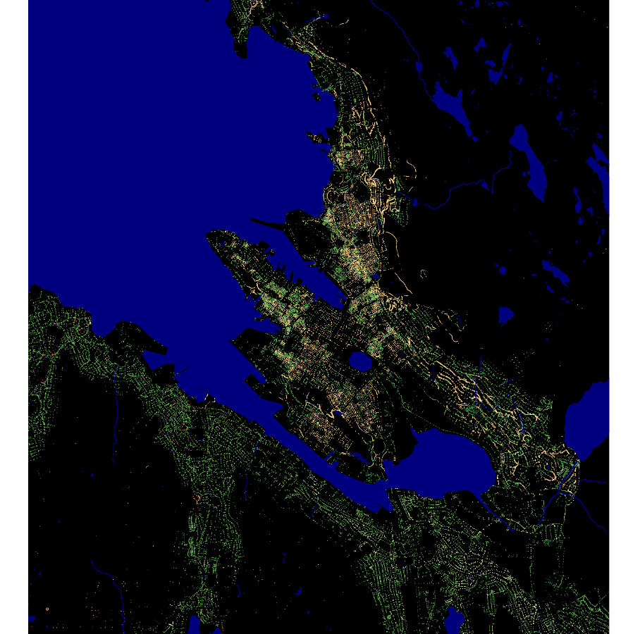
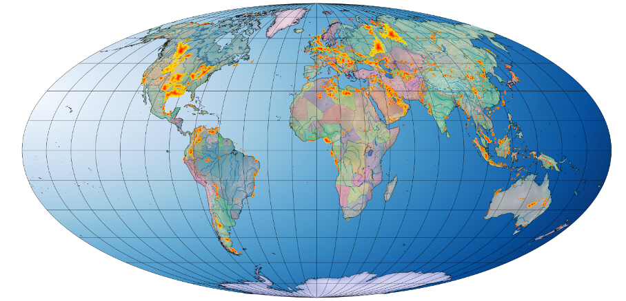
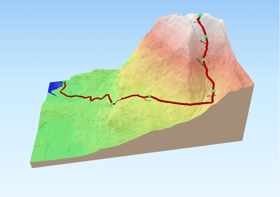
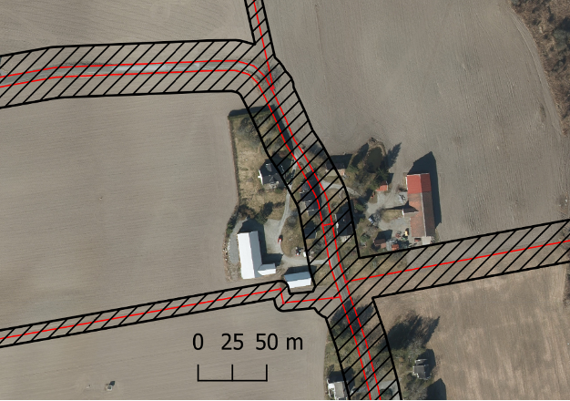
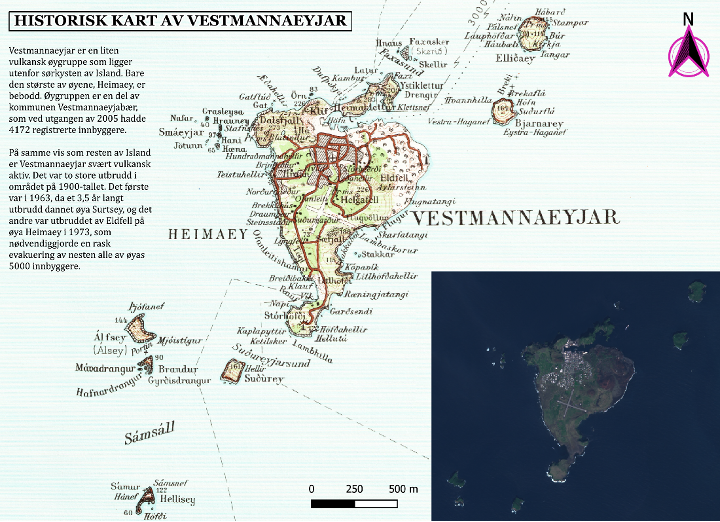
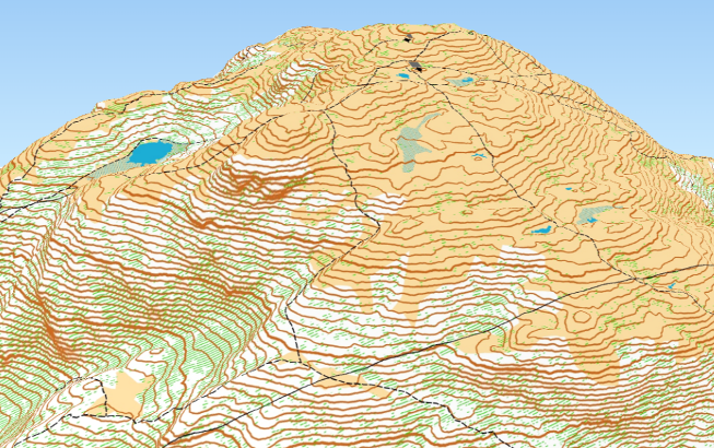
Image credits: QGIS screenshots by Nysæter and Sanca. 1) FKB building data, Stavanger. 2) Property delineation points in Bergen. 3) Known petroleum reserves. 4) Former “Ulriken opp” hiking route. 5) Buffer analysis. 6) Map made with QGIS. 7) Løvstakken, 3D orienteering map.