Glimpses from the QGIS workshop
Published
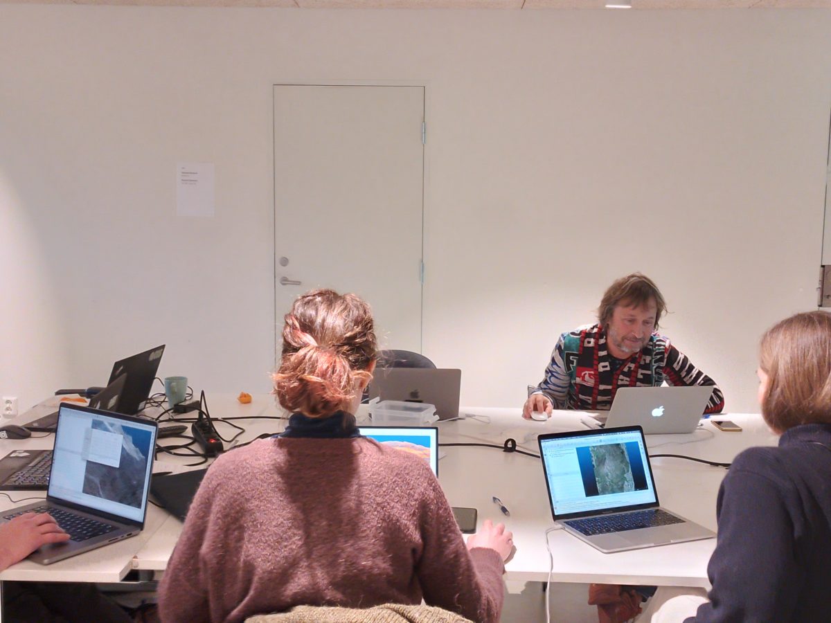
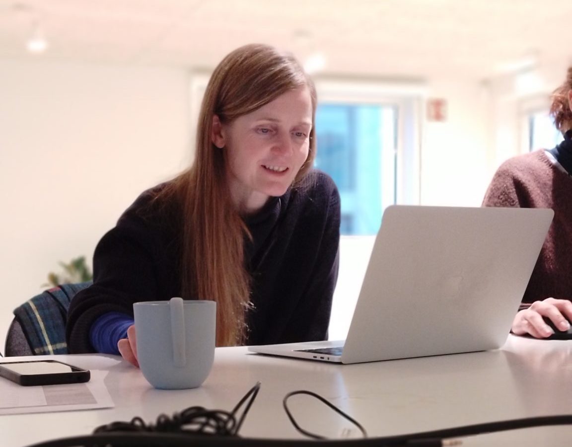
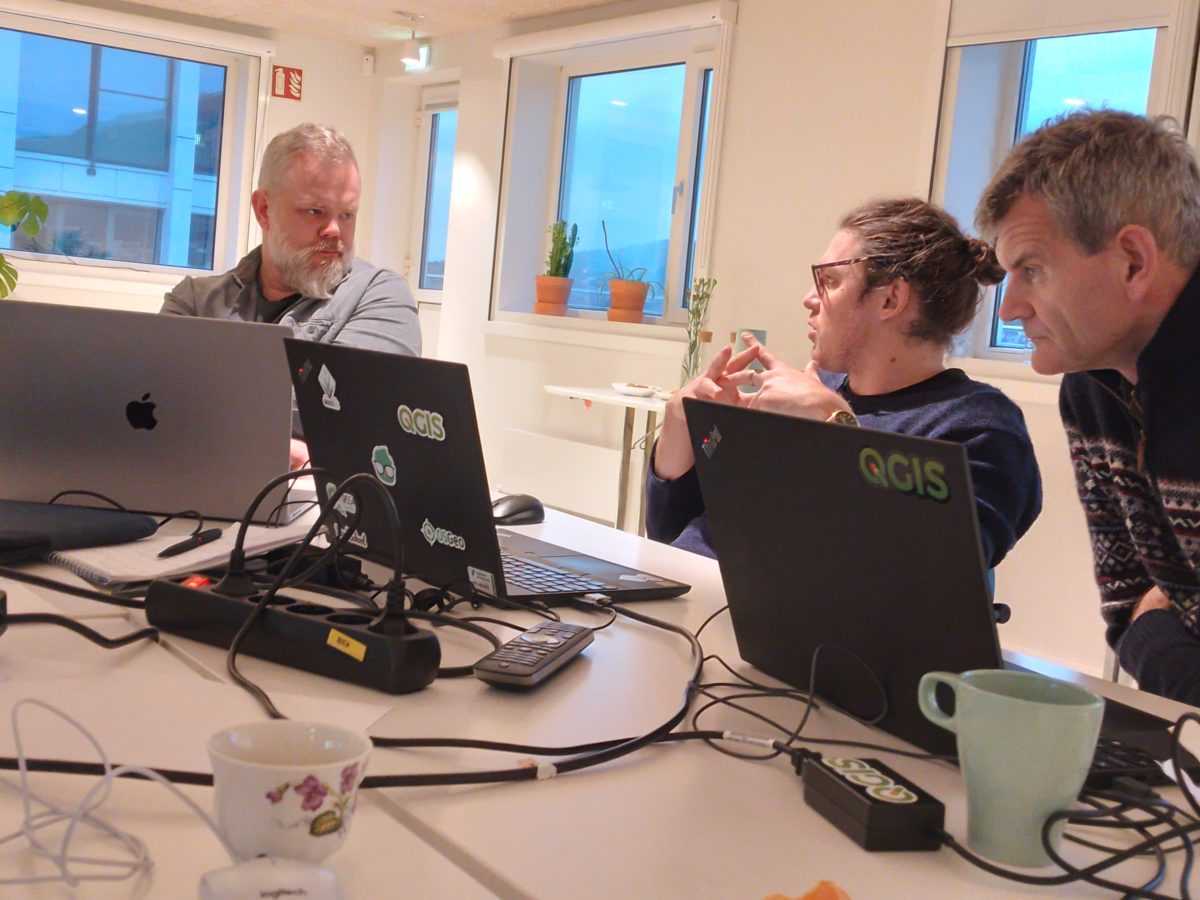
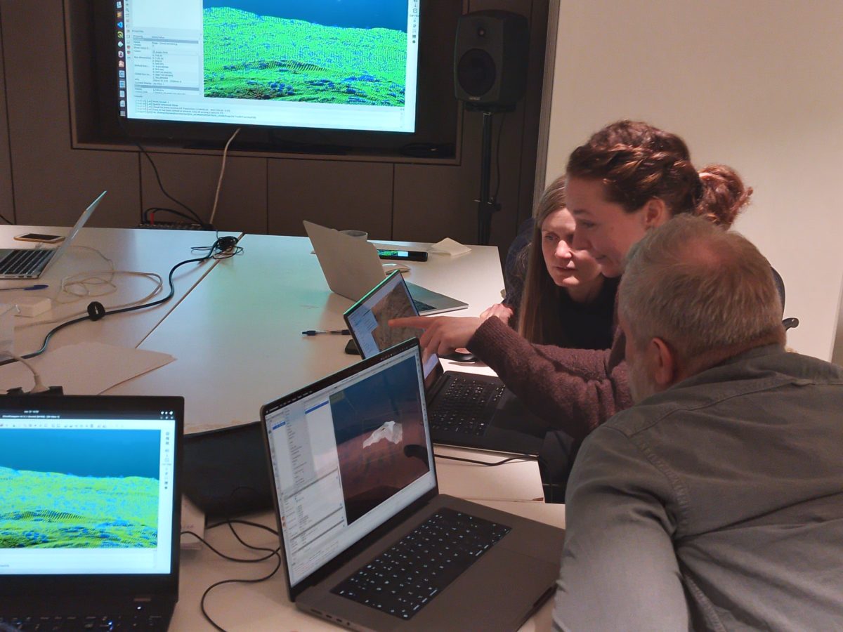
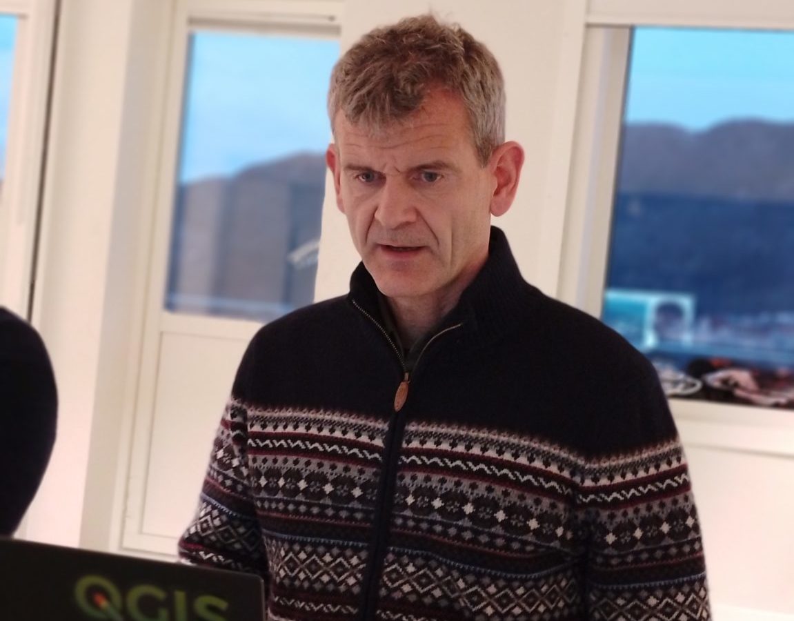
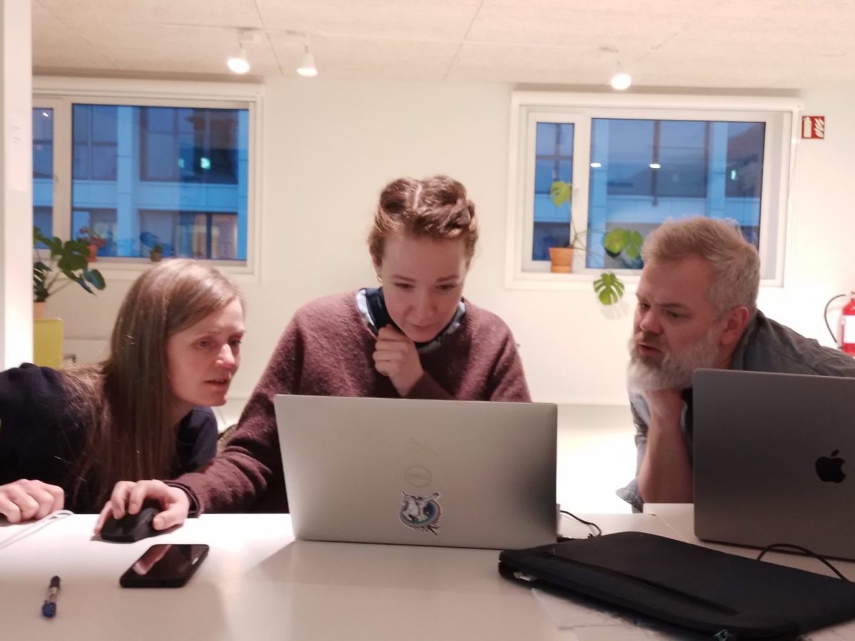
The QGIS workshop at BEK 24–25 November inspired the participants to delve deeper into the geographic information system (GIS) software QGIS. The workshop was organised as an extension to “Where is the High North?”, artist Toril Johannessen’s contribution to the symposium The Only Lasting Truth is Change.
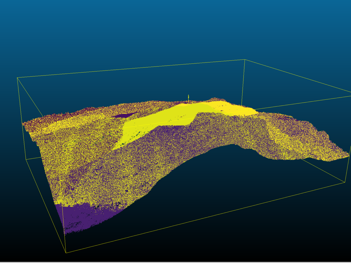
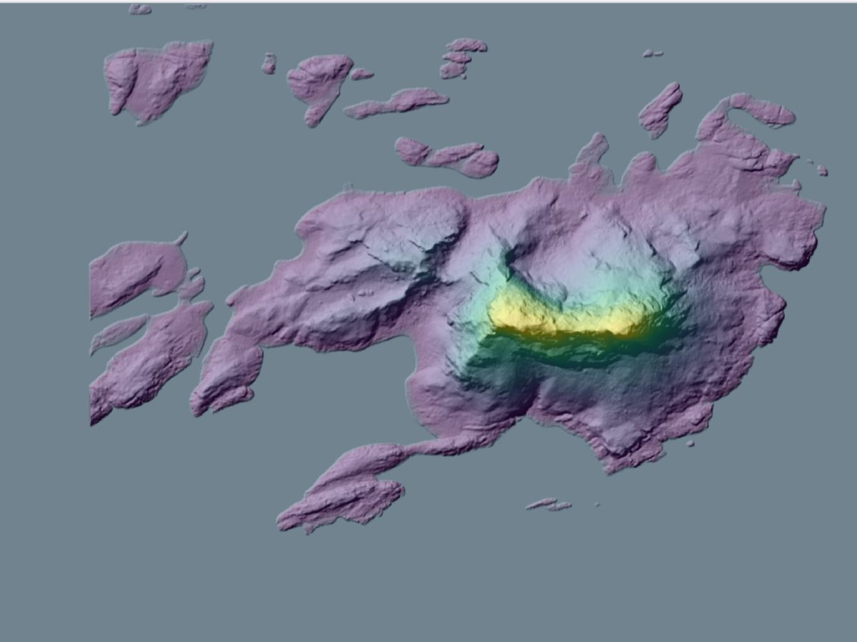
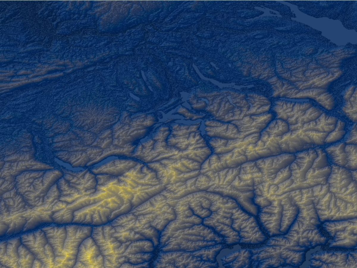
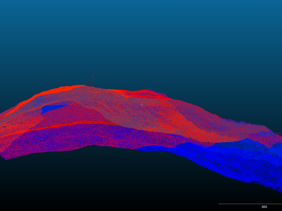
The workshop, led by Helge Nysæter and Simon Šanca from the Western Norway University of Applied Sciences (HVL), gave a hands-on introduction to different coordinate systems and map projections, how to find and use map sources, how to work with raster, vector and terrain models, and how to design and export maps.
Images: Workshop photos by BEK (1-6). QGIS screenshots by Toril Johannessen (7), Patricia Sichmanova (8-9) and BEK (10).
